
New Research Reveals Broader Viking Trade Network
A groundbreaking expedition led by Swedish archaeologist Greer Jarett has unveiled new insights into Viking trade routes along the Norwegian coast. Over a span of three years, Jarett navigated 5,000 kilometers in a replica Viking sailboat, revealing previously unknown harbors and expanding the understanding of Viking maritime activities. His findings, published in the Journal of Archaeological Method & Theory, suggest that Viking trade routes were more extensive and decentralized than previously believed, challenging long-held assumptions about their seafaring capabilities.
Viking Routes are More Extensive & Decentralised
Greer Jarett, affiliated with Lund University in Sweden, embarked on an ambitious journey aboard a faering, a traditional Viking-style vessel. His research, which culminated in a detailed report published on May 8, 2025, highlights the complexity of Viking trade networks. Contrary to earlier beliefs that focused solely on the endpoints of Viking voyages, Jarett’s work indicates that these routes extended further offshore and were more decentralized. This revelation opens new avenues for understanding the economic and cultural exchanges that took place during the Viking Age.
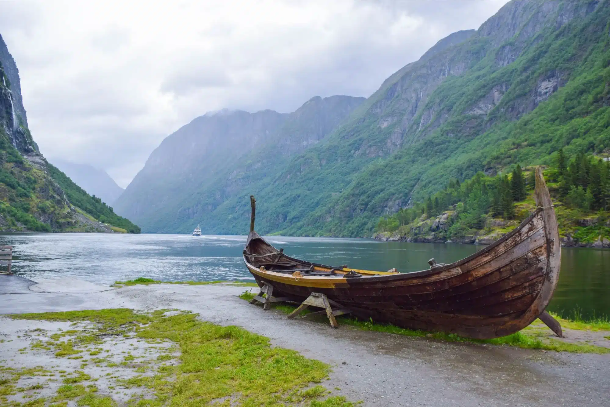
Exploring the Viking Routes by Faering
The faering, a small sailboat equipped with oars, served as Jarett’s vessel for exploration. His journey took him from Trondheim, located in central Norway, all the way to the Arctic Circle. Throughout his travels, Jarett engaged with local sailors and fishers to gather insights about historical maritime routes. His exploration led to the identification of four harbors situated on small islands and promontories, which Vikings likely used for mooring and shelter. These findings contribute to a more nuanced understanding of the Vikings’ navigational skills and their ability to utilize various coastal resources.
Seafaring of the Vikings through Mental Maps
Jarett’s research sheds light on the navigational techniques employed by the Vikings, who relied on mental maps rather than compasses. This method involved memorizing key locations for meetings and information sharing, which were essential for successful maritime navigation. The study emphasizes the importance of large ports such as Dublin, Ribe, and those in Denmark, suggesting that these hubs played a significant role in Viking trade and communication. The reliance on mental maps underscores the Vikings’ remarkable seafaring abilities and their deep understanding of the maritime landscape.
Excavation Not Done for Vikings
While Jarett’s expedition has provided valuable insights, he has not conducted any excavations at the identified harbors to confirm Viking activity. He noted that the discovery of artifacts such as jetties, temporary shelters, cooking pits, and ballast stones would serve as concrete evidence of Viking presence in these areas. Jarett’s ongoing research aims to further explore these sites, potentially uncovering more about the Vikings’ extensive maritime trade networks and their interactions with various coastal communities.
Observer Voice is the one stop site for National, International news, Sports, Editor’s Choice, Art/culture contents, Quotes and much more. We also cover historical contents. Historical contents includes World History, Indian History, and what happened today. The website also covers Entertainment across the India and World.
Follow Us on Twitter, Instagram, Facebook, & LinkedIn