NASA Launches Advanced Aircraft for Texas Flood Relief

NASA has deployed two aircraft to assist in recovery efforts following severe flooding near Kerrville, Texas. These aircraft, part of NASA’s Disasters Response Coordination System, are working closely with state and local authorities, including the Texas Division of Emergency Management, as well as humanitarian organizations such as Save the Children and GiveDirectly. The ongoing cloud cover in the area has hindered the ability to capture clear satellite images, making the aircraft’s mission even more critical.
NASA Deploys Aircraft with Advanced Sensors for Texas Flood Response
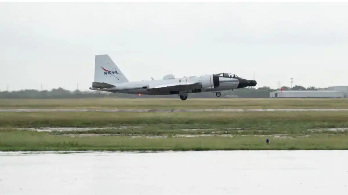
NASA’s Airborne Science Program has initiated a series of flights aimed at gathering vital observations of the flood-affected regions. The WB-57 aircraft, which took off from Ellington Field on July 8, 2025, is equipped with the DyNAMITE sensor, known as the Day/Night Airborne Motion Imager for Terrestrial Environments. This advanced technology allows the aircraft to capture detailed aerial surveys, providing essential data to emergency response teams. The information gathered will aid in search and rescue operations, resource allocation, and overall decision-making during this critical time.
Real-Time Data and Imagery Aid Emergency Teams and Flood Recovery Efforts
The DyNAMITE sensor is focused on monitoring the Guadalupe River and its surrounding areas, delivering high-resolution imagery crucial for assessing damage and coordinating recovery efforts. This system facilitates real-time data collection and analysis, significantly improving situational awareness and response times for emergency teams. Additionally, NASA’s Uninhabited Aerial Vehicle Synthetic Aperture Radar (UAVSAR), operated by the Jet Propulsion Laboratory in Southern California, is set to collect observations over the Guadalupe, San Gabriel, and Colorado river basins on select weekdays. This technology can penetrate vegetation, allowing it to detect water that other sensors might miss, which is vital for understanding the extent of the flooding and its impact on local communities.
Coordination with Local and Federal Agencies
The disaster response efforts are being coordinated with FEMA, local responders, and the Texas Division of Emergency Management to ensure that the data collected is promptly delivered to those making decisions on the ground. As soon as the data becomes available, it will be shared on the NASA Disasters Mapping Portal, providing critical information to support ongoing recovery operations. This collaborative approach underscores the importance of leveraging advanced technology and data to enhance emergency response efforts in the wake of natural disasters.
Observer Voice is the one stop site for National, International news, Sports, Editor’s Choice, Art/culture contents, Quotes and much more. We also cover historical contents. Historical contents includes World History, Indian History, and what happened today. The website also covers Entertainment across the India and World.

