
NASA Achieves Lunar Navigation Breakthrough
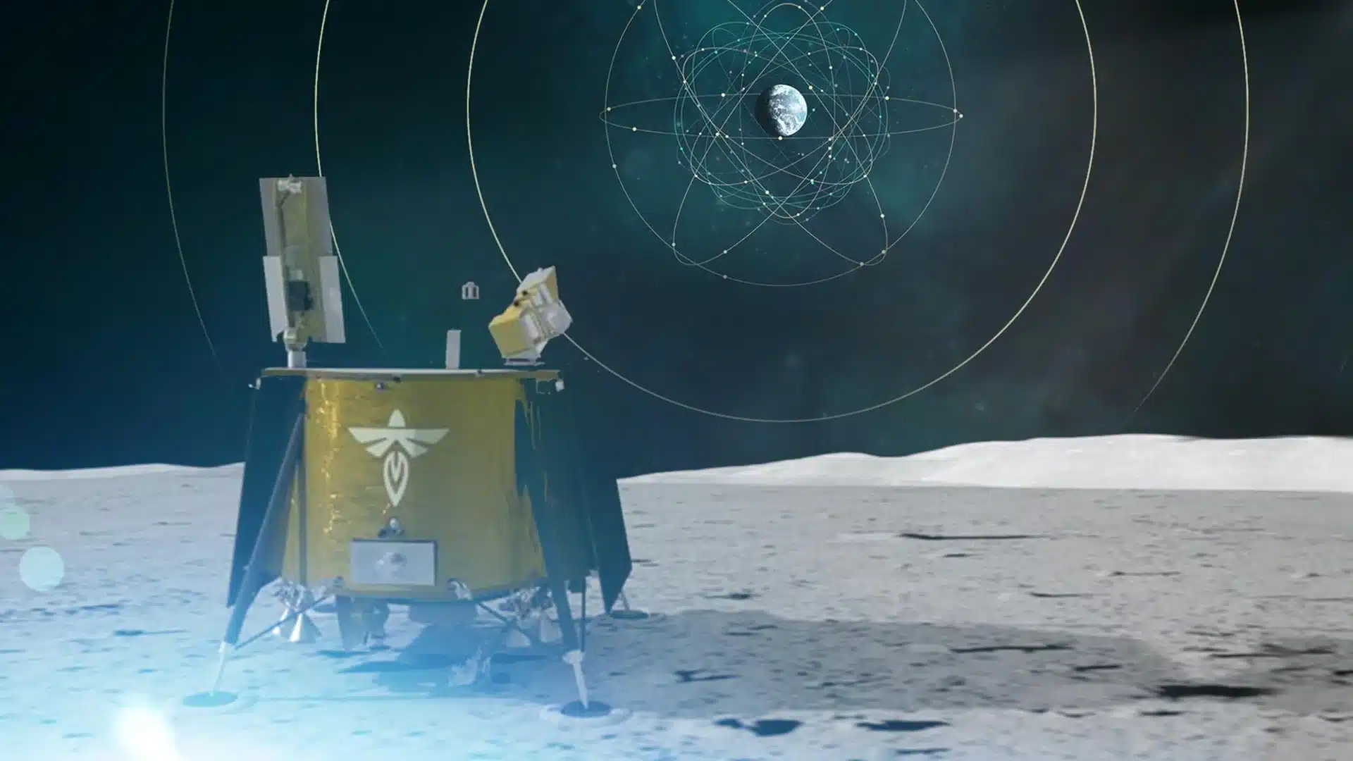
NASA, in partnership with the Italian Space Agency, has made a significant advancement in space navigation by successfully acquiring and tracking Earth-based navigation signals on the Moon. This milestone was accomplished through the Lunar GNSS Receiver Experiment (LuGRE), which was delivered to the lunar surface by Firefly Aerospace’s Blue Ghost lander on March 2. This achievement not only confirms the feasibility of detecting Global Navigation Satellite System (GNSS) signals at the Moon’s distance but also paves the way for enhanced autonomous navigation in future space missions, including NASA’s Artemis program.
LuGRE Confirms GNSS Signal Tracking on the Moon
NASA’s Goddard Space Flight Center reported that the LuGRE experiment successfully acquired and tracked signals from both the GPS and Galileo constellations at 2 a.m. EST on March 3. This event marks a historic first, as it is the initial instance of GNSS signals being utilized for navigation approximately 225,000 miles from Earth. The data gathered during this experiment will play a crucial role in developing navigation technologies that could support future lunar and deep-space exploration missions.
Kevin Coggins, Deputy Associate Administrator for NASA’s Space Communications and Navigation (SCaN) program, emphasized the significance of this experiment. He noted that the successful demonstration of GNSS signals for navigation beyond Earth showcases the potential of using technology already employed in aviation and mobile devices for lunar missions. This breakthrough could lead to more efficient and autonomous navigation systems for spacecraft venturing into deep space.
Record-Breaking GNSS Acquisition in Space
The LuGRE payload has already set impressive records during its journey to the Moon. On January 21, it achieved the highest altitude GNSS signal acquisition at 209,900 miles from Earth, surpassing the previous record held by NASA’s Magnetospheric Multiscale Mission. As LuGRE entered lunar orbit on February 20, this altitude record was further extended to 243,000 miles. These achievements indicate that spacecraft operating in cislunar space could effectively utilize GNSS signals for navigation, enhancing mission autonomy beyond Earth’s orbit.
This innovative payload was developed through a collaboration involving NASA’s Goddard Space Flight Center, the Italian Space Agency, Qascom, and Politecnico di Torino. The ongoing data collection from the LuGRE mission is expected to inform future efforts aimed at expanding GNSS coverage for lunar and Martian exploration, marking a significant step toward advanced space navigation systems.
Observer Voice is the one stop site for National, International news, Sports, Editor’s Choice, Art/culture contents, Quotes and much more. We also cover historical contents. Historical contents includes World History, Indian History, and what happened today. The website also covers Entertainment across the India and World.