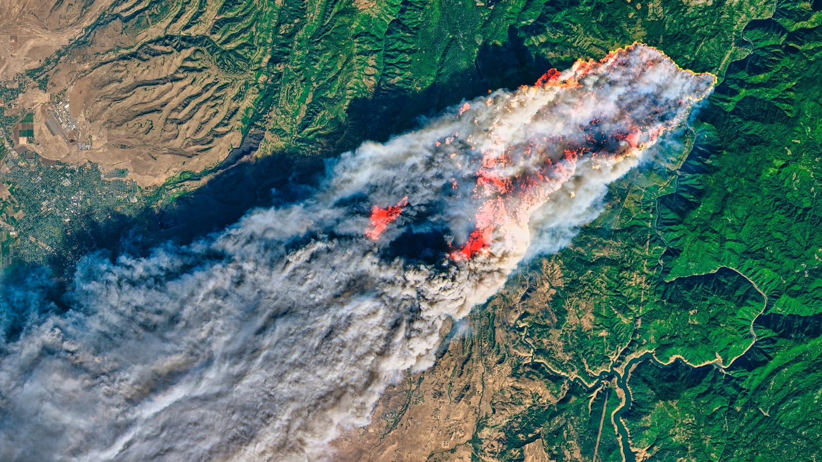
FireSat Prototype Satellite to Monitor Earth Every 20 Minutes

A groundbreaking satellite constellation developed by Muon Space is set to transform wildfire detection by scanning the entire Earth every 20 minutes. The inaugural satellite, FireSat Protoflight, launched in March 2025, has successfully returned its first infrared images from low-Earth orbit. Equipped with advanced multi-band infrared sensors, FireSat can identify heat signatures as small as five meters in real time, providing critical information to first responders and communities at risk from wildfires.
FireSat’s Advanced Imaging Capabilities
According to a recent mission update from Muon Space, FireSat’s imaging system is capable of detecting fires as small as five meters in diameter through the use of six distinct infrared channels. This advanced technology enables the satellite to minimize false positives and accurately pinpoint genuine fire threats, even at lower burn temperatures. Operating from low Earth orbit, FireSat has scanned approximately 1,500 kilometers of terrain, capturing heat signatures from diverse locations, including Sydney’s airport, Hawaii’s Kīlauea volcano, and Libya’s Sarir oil field.
The high-resolution images produced by FireSat confirm that its infrared sensors are performing as intended, delivering reliable data. Dan McCleese, Chief Scientist at Muon, hailed this achievement as a significant advancement in remote sensing, particularly in the challenging field of thermal imaging, which has few commercial competitors. This initiative is part of a collaborative effort between Muon Space and the Earth Fire Alliance.
Broader Applications Beyond Wildfire Detection
In addition to its primary function of wildfire detection, FireSat’s capabilities extend to tracking gas flares, urban heat sources, and natural thermal phenomena. This versatility makes FireSat a valuable tool for climate monitoring and disaster management beyond just fire-related incidents. The next three satellites in the FireSat constellation are scheduled for launch in 2026, with the entire network expected to be fully operational by 2030.
CEO Jonny Dyer emphasized that the swift progression of FireSat from design to deployment exemplifies Muon Space’s commitment to creating mission-optimized satellites. The constellation aims to address a significant data gap in space-based wildfire detection, equipping first responders, scientists, and government agencies with innovative tools to combat the escalating global threat of wildfires.
Future Prospects and Impact on Wildfire Management
The deployment of the FireSat constellation is anticipated to have a profound impact on wildfire management strategies worldwide. By providing real-time data on fire activity, the satellites will enhance the ability of first responders to react swiftly and effectively to emerging threats. This timely information can help mitigate the devastating effects of wildfires on communities, ecosystems, and economies.
As wildfires become increasingly frequent and severe due to climate change, the need for advanced detection systems like FireSat is more critical than ever. The constellation’s ability to deliver precise and timely information will empower policymakers and emergency services to make informed decisions, ultimately saving lives and protecting property. With the full deployment of FireSat by 2030, the future of wildfire detection and management looks promising, offering hope in the fight against one of nature’s most destructive forces.
Observer Voice is the one stop site for National, International news, Sports, Editor’s Choice, Art/culture contents, Quotes and much more. We also cover historical contents. Historical contents includes World History, Indian History, and what happened today. The website also covers Entertainment across the India and World.

